

Hike in the Tamina Valley: Wild Scenery and Fossils

CHF 78.00
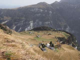
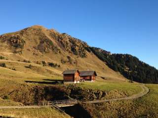
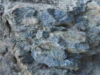
The Muntaluna isn’t a “moon mountain,” but rather a mountain overlooking the ravine—Munt is the mountain, and Valluna is the ravine. We won’t be climbing all the way up to the Muntaluna anyway, but rather to the Chamm. We just want to see the Glarus Main Thrust, with its striking line in the rocks of the Wildseehörner and the Pizol. The cable car up to the Vättnerberg also shortens the ascent, making for a hike that’s both enjoyable and interesting. It’s entertaining because we’re hiking briskly through different geological eras—eras that, incidentally, originated in the sea. We also discover fossils—namely, single-celled ancient organisms like nummulites, which look like multi-chambered, spiral-shaped discs. Overall, we hike through an impressively beautiful landscape; the view of the wild ravines and the backside of Chur’s local mountain, Calanda, is unique. The descent is planned to end at the Mapragg Reservoir.
Hiking time: 4 ¼ hours
Difficulty: moderate, T2 – T3
Ascent / Descent: 600 / 1200 m
Meeting place: Bad Ragaz train station at 8:25 a.m.
The hiking guide and GeoGuide is happy to share interesting information.


- Implementation time/s
- No implementation


Report an error (ID: 7bb5fbaf-05f2-49bf-8b57-6878ac959d28)
CHF 78.00